Trolltunga ENG problea tab cont
A Journey to the epic Troll’s Tongue
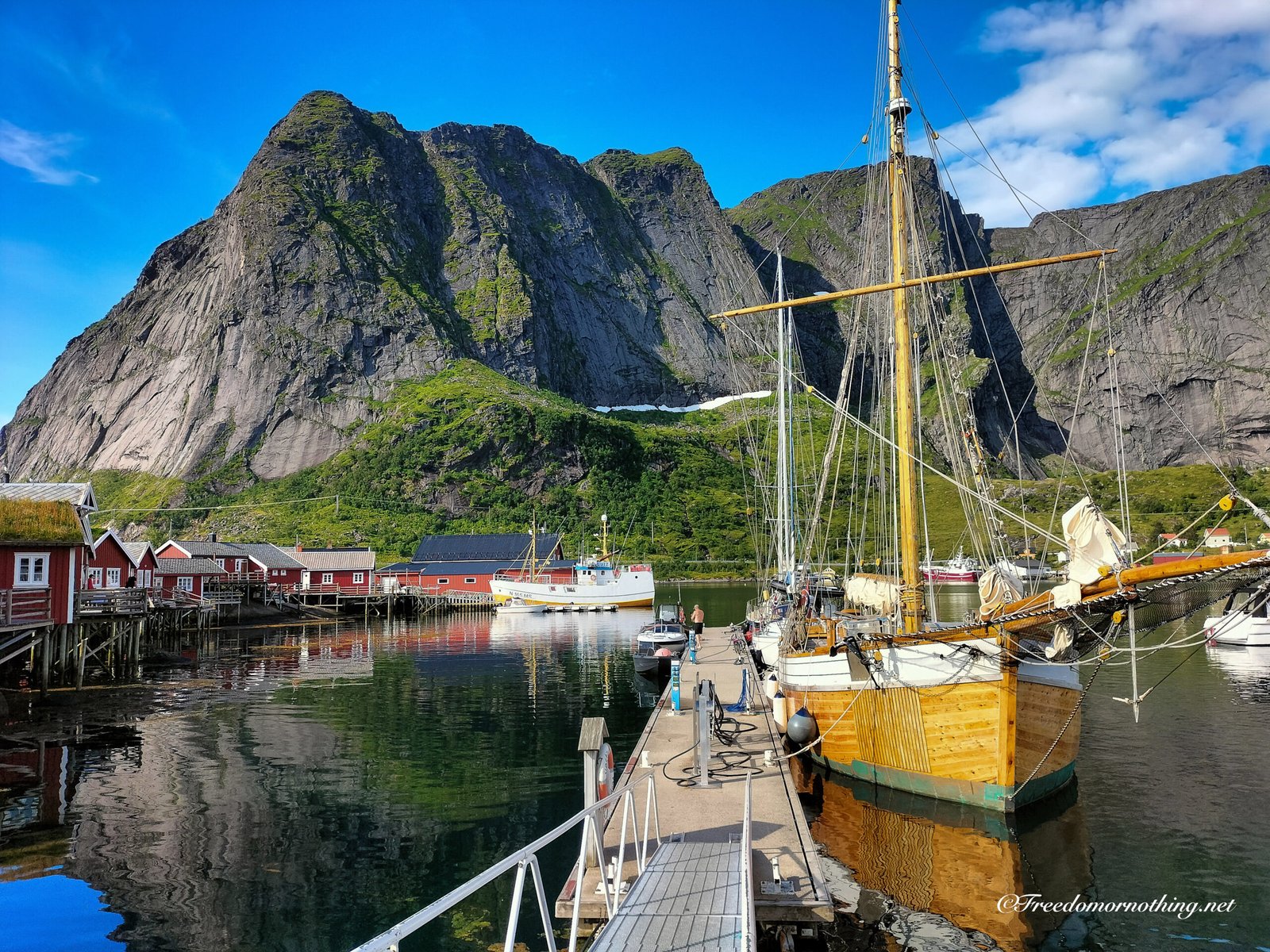
Trolltunga is undeniably one of Norway‘s most famous landmarks. The iconic rock formation, jutting out 700 metres above Lake Ringedalsvatnet, attracts hikers from all over the world.
It is a long, demanding hike that requires preparation and endurance, especially if tackling the full route from the main parking lot at P2. The reward is a view that has become a symbol of Norwegian nature, offering a dramatic perspective over the fjord landscape below.
|
Where |
Odda, Vestland County, Norway |
|
Difficulty |
Demanding / Expert |
|
Average Times |
8-12 hours Return |
|
Total Ascent |
~1,100m cumulative gain (from P2) |
|
Distance |
27 km Return (from P2) |
|
Max Elevation |
1,180 m a.s.l. |
|
Start Point |
P2 Skjeggedal Parking |
|
Water |
Fresh water is available from streams on the high plateau. |
|
Services |
Paid parking at P2. Shuttle bus available to P3 (Mågelitopp), though this guide describes the full hike starting from P2. |
|
Recommended Season |
June – September |
STARTING POINTS:
-
P1 (Tyssedal): The “bottom” lot. I suggest to avoid this. It adds 11 km of boring asphalt walking just to get to the real start.
-
P2 (Skjeggedal): My Choice. The main trailhead. Parking costs NOK 500 (plus a NOK 200 toll). Expensive, yes, but the standard starting point for the proper adventure.
-
P3 (Mågelitopp): Located at the top of the first climb, saving you 400m of elevation and 7 km of walking. Cost: NOK 600 parking + NOK 200 toll. Catch: Only 30 spots exist, and they sell out months in advance.
-
Extra Option: You can park at P2 and take a shuttle bus up to P3 for about NOK 150 (one way). These prices are updated as of 2025.
-
-
Info & Highlights
-
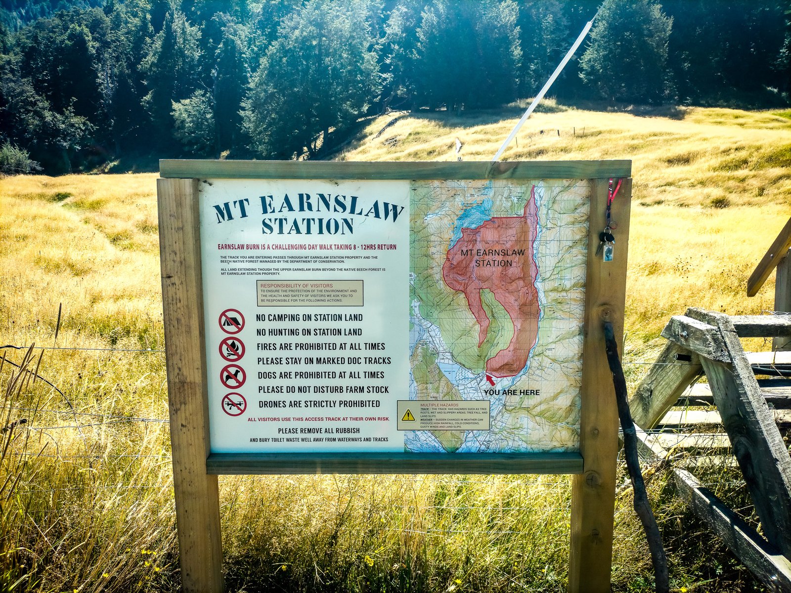
Dove:
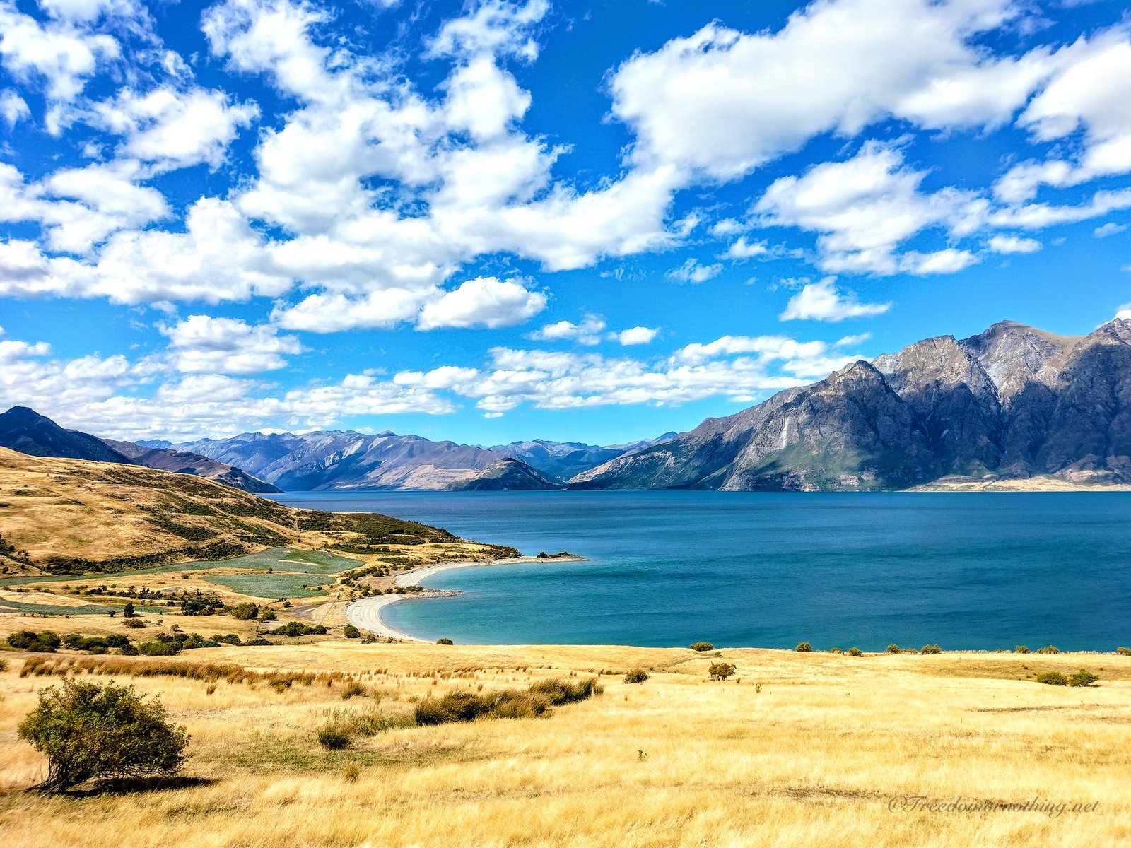
Area di Glenorchy, Otago, Isola del sud – NZ
-
Difficoltà:
Challenging
-
TEMPI MEDI:
6/8 ore solo andata (4/6 ore solo bosco)
-
Punto di partenza
https://maps.app.goo.gl/PehZULENP7q21kCG7 da Lovers Leap Road
-
COME ARRIVARE:
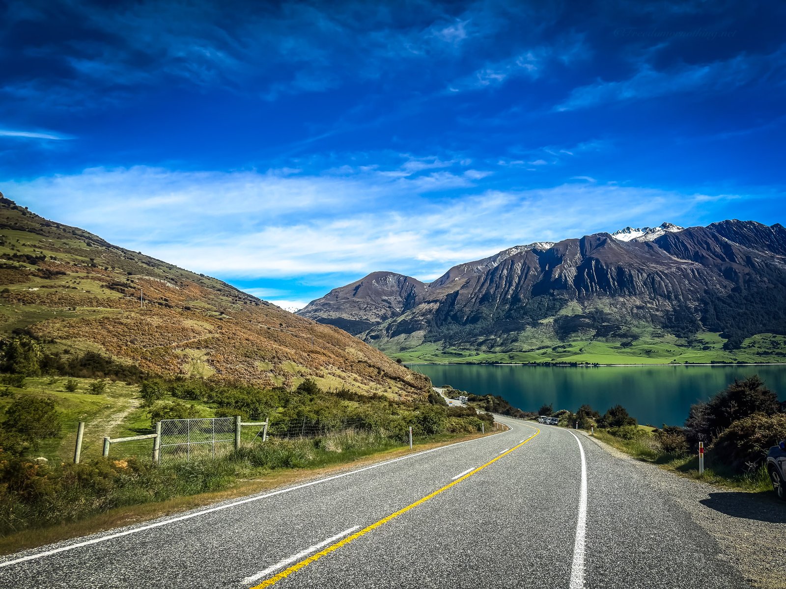
Da Queenstown, guida circa 45 minuti su strada asfaltata fino a Glenorchy. Da Glenorchy, prosegui in direzione Paradise e poco dopo Diamond Lake svolta a destra su Lovers Leap Road, strada sterrata. Prosegui per circa 1,5 km e troverai il parcheggio per Earnslaw Burn Track. Da qui parte il sentiero.
-
ACQUA:
Disponibile. Reperibile dal fiume Earnslaw Burn e da torrenti e cascate che attraversano il sentiero. Filtro o bollitura fortemente consigliati.
-
SERVIZI:
No, camping consentito nell’area adiacente al fiume appena usciti dalla linea degli alberi prima dell’alta valle.
-
Periodo consigliato:
Dicembre – Marzo
-
Dislivello positivo totale:
1250m
-
DISTANZA: 13,5 km totali (8,8 km bosco)
13,5 km totali (8,8 km bosco) solo andata
Let’s start
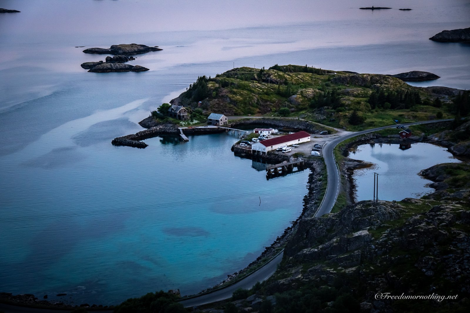
I began my hike from P2 Skjeggedal.
Most people trudge up the road that snakes up to P3. It’s efficient but soulless.
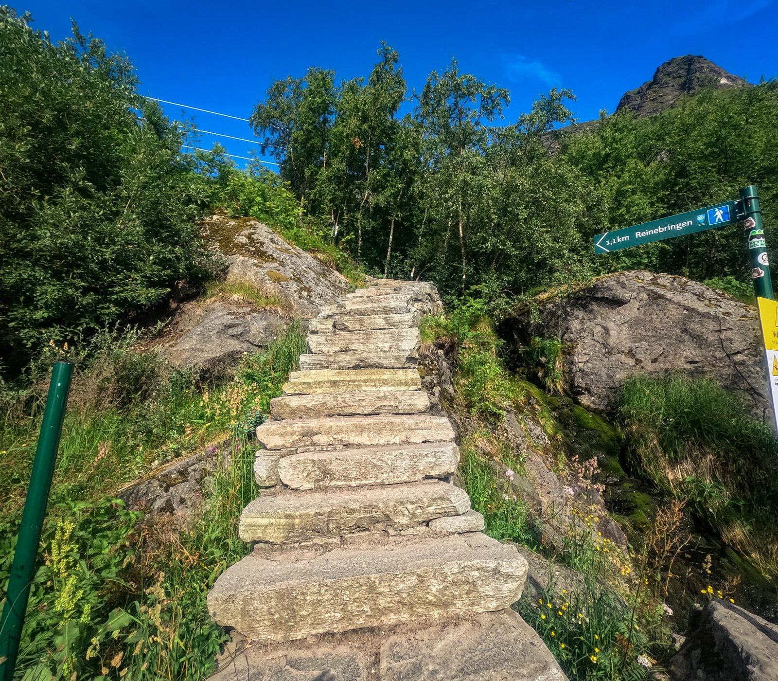
However, if you look closely near the start of the road, there is a steep, rugged trail cutting through the forest. It’s tougher, muddier, and infinitely more natural than walking on pavement. This is the old way.
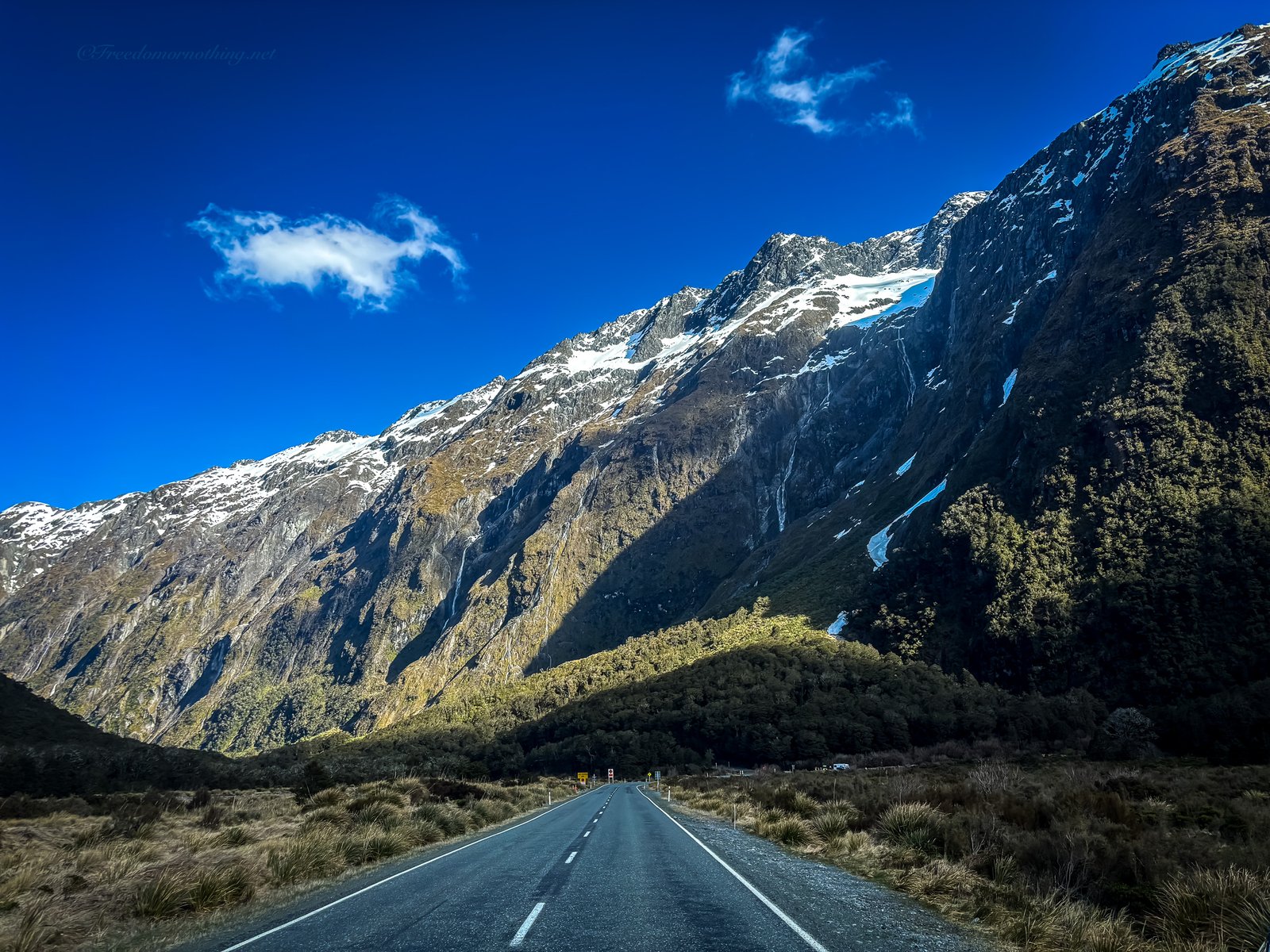
Whichever poison you pick, you have to conquer this initial 400-meter ascent to reach the Mågelitopp plateau (P3).
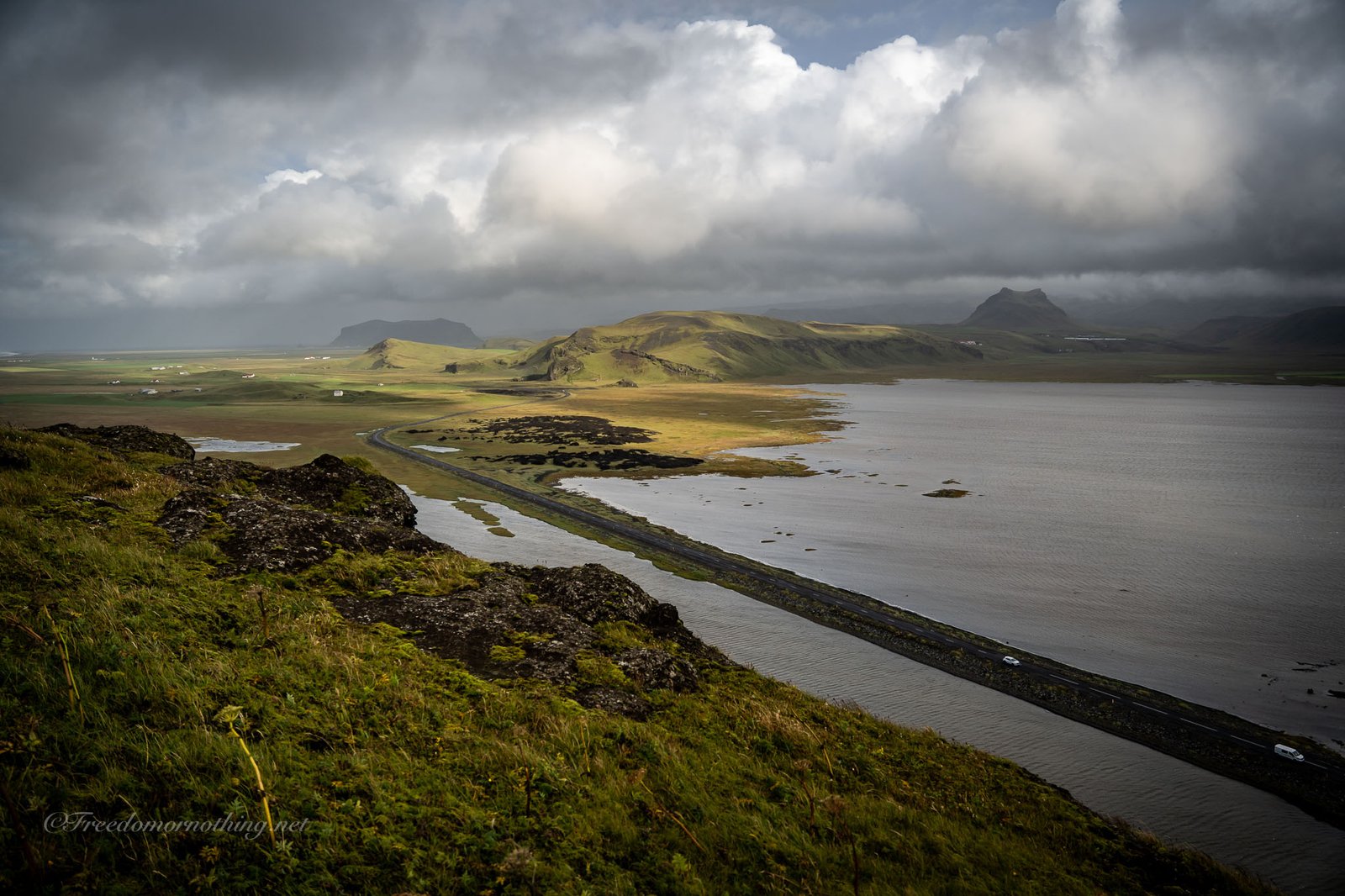
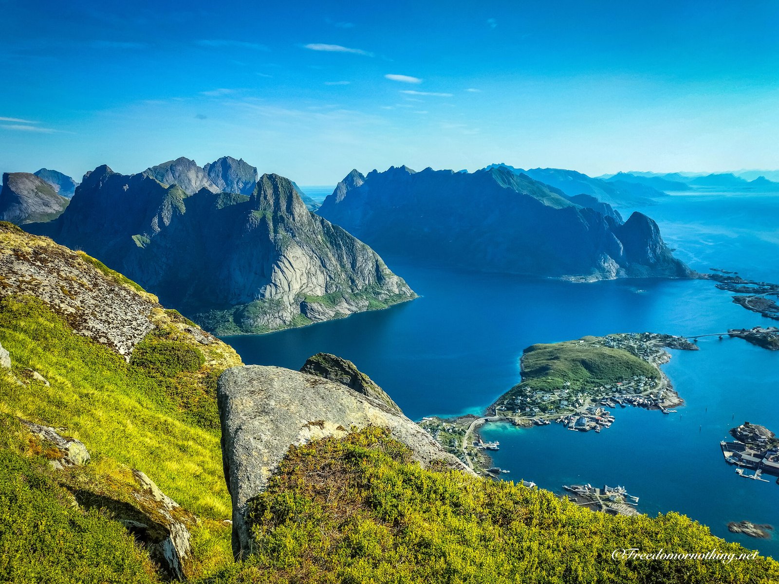
Once you reach the top of the road at P3, the terrain changes significantly. You leave the valley behind and enter the high mountain plateau.
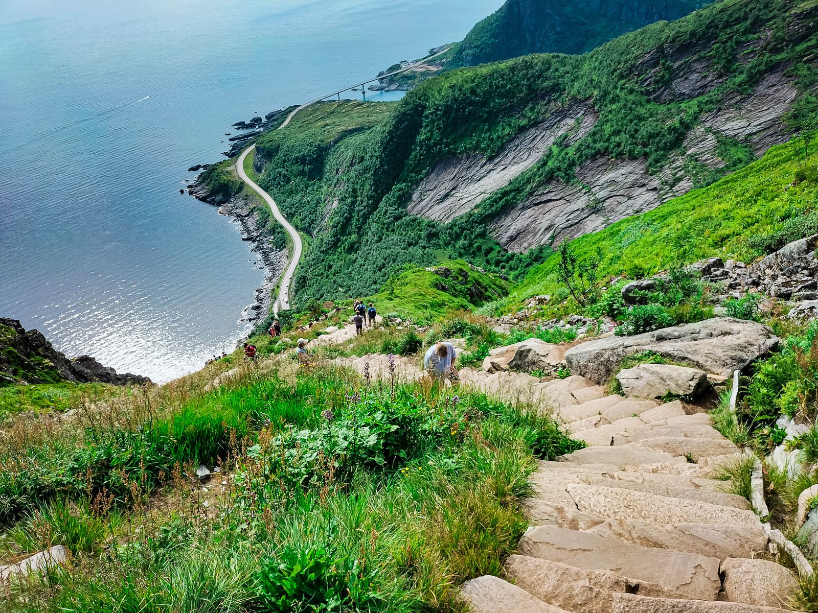
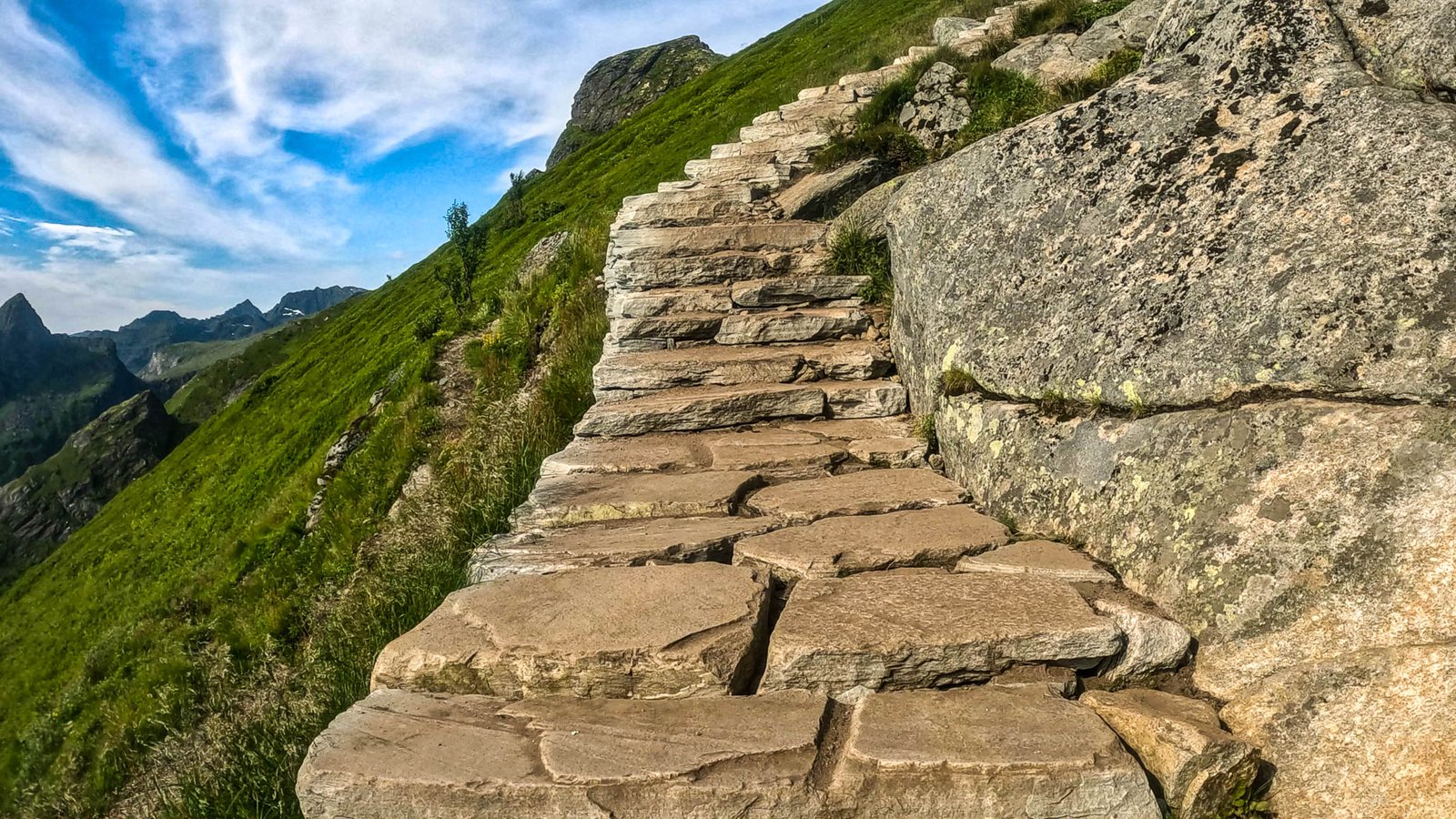
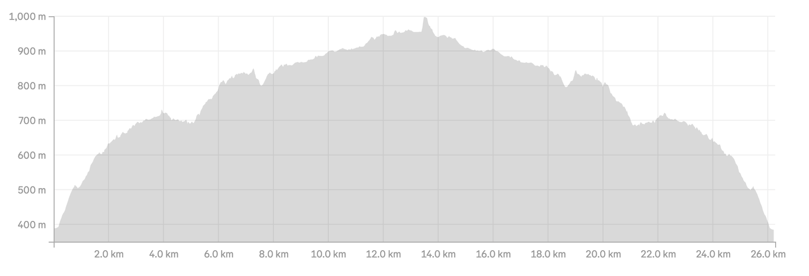
The path here consists of rocky steps, open granite slabs, and sections that can be muddy depending on recent weather. The route is well-marked with red “T” symbols painted on rocks and cairns. Although the elevation profile flattens out compared to the initial climb, the trail continues with a series of ups and downs that add to the total physical effort.

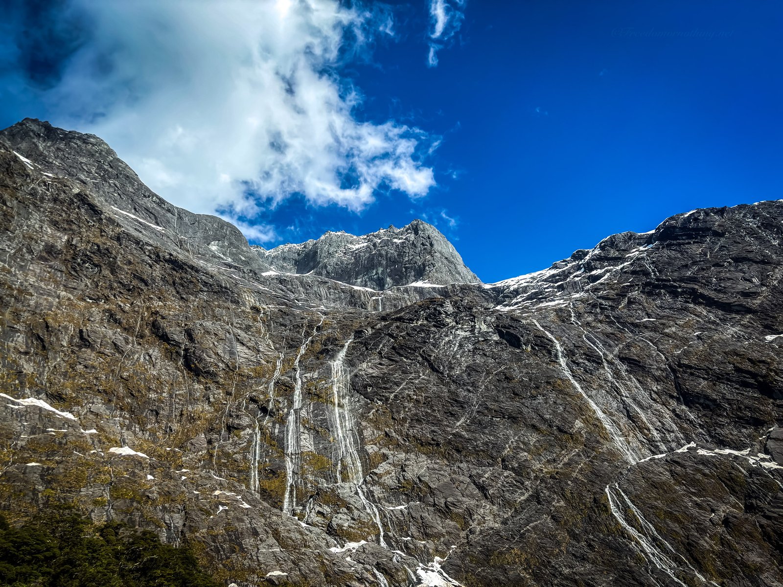
The distance is substantial. You will pass some emergency shelters (for survival use only) and traverse varied landscapes, from small mountain lakes to snowy patches. Weather conditions in this area can change rapidly, shifting from sunshine to fog or rain in a short time.
After approximately 13-14 KMs of hiking, you reach the destination.
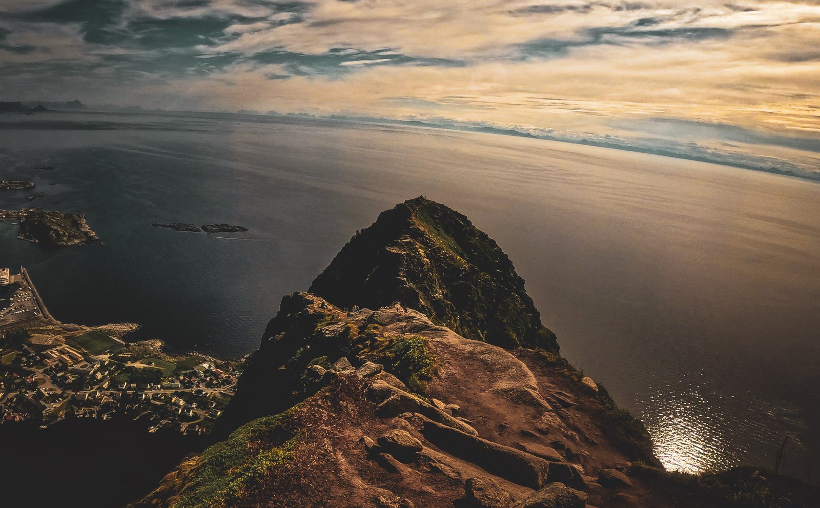
The plateau ends abruptly, revealing the sheer drop down to Lake Ringedalsvatnet. Extending from the cliff face is Trolltunga itself.


Mi sono pentito di non avere la tenda con me quel giorno, infatti avevo attrezzatura minimale, ed ero partito a metà pomeriggio rientrando col buio e frontalino a tarda serata.
“Per chi mi conosce sono solito fare uscite piuttosto wild con tempistiche e organizzazione quantomeno dubbia e in condizioni spesso folli… Sconsiglio vivamente di fare altrettanto perché spesso non è il modo migliore per apprezzare quanto fai ma è semplicemente… Il Mio.”
The view from the edge is impressive, crashing straight down to the water with a clear sightline across the surrounding peaks. But given the site’s fame: I had heard the horror stories—supermarket-style queues, hours of waiting just to step onto that rock for the photo. I went in mid-September, dreading the hordes.
I started late, deliberately pushing against the flow and the decision paid off. Despite a spectacular day, being just outside peak season and avoiding the rush hour meant that while there were people, I also found moments of pure solitude. I watched the landscape burn red as late afternoon bled into an unforgettable sunset. Honestly, at twilight it’s terrifyingly beautiful. Perhaps the best time to be there.
My return journey happened in the dark. Hiking back with a headlamp is feasible thanks to the abundance of reflective trail markers that light up in the beam, but it requires caution. Even in summer, slippery patches of ice can hide in the shadows.
For those who want to extend the experience, there are specific areas marked for camping (and others where it’s explicitly banned). Just do it right.
Gli ultimi passi
Trolltunga is a significant physical undertaking.
From a visual standpoint, the rock formation is spectacular and unique. The scale of the cliffs and the drop to the lake create a powerful scene.
However, due to its global fame, it is rarely a solitary experience. The trail can be busy, and the presence of crowds at the summit changes the atmosphere compared to lesser-known hikes.
Completing the hike from P2 is a test of endurance that adds a sense of accomplishment to the visit. It is a full-day commitment that rewards hikers with one of Norway’s most recognizable views.

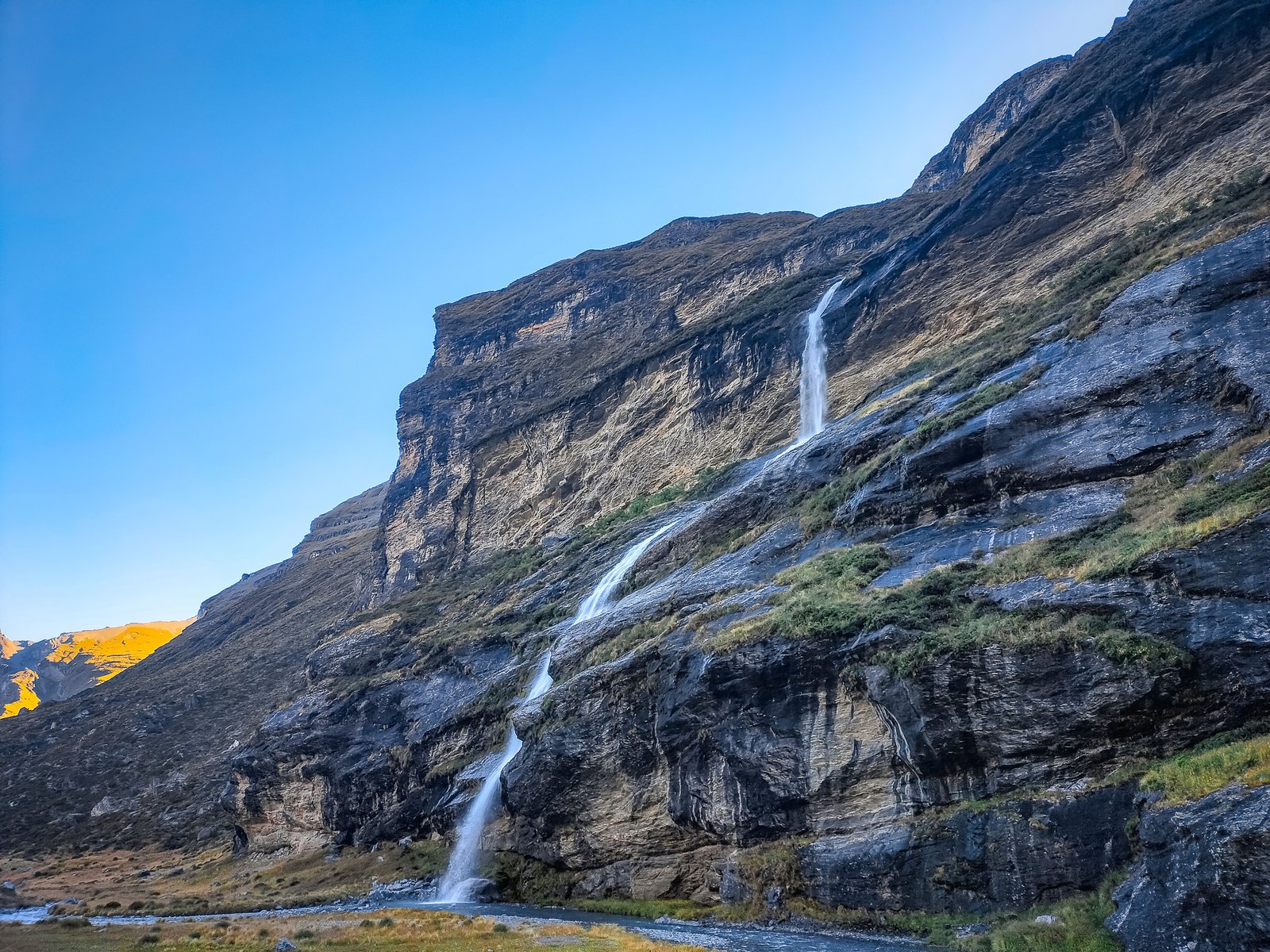
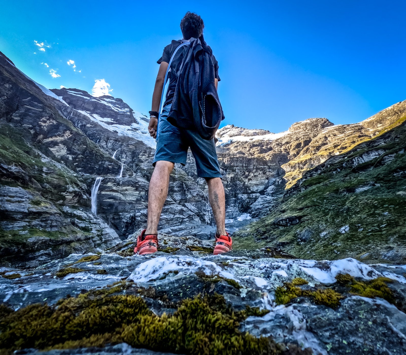
Non ho mai trovato alcuna foto di questo luogo, tanto meno le mie, in grado di mostrare realmente la sensazione di vastità, purezza ed imponenza di questa vallata, dove il ghiacciaio si illumina al sole e una valanga di cascate grandi e piccole danno vita al fiume serpeggiante che ti accompagna sino alle falde del monte.

È possibile raggiungere questa perla nascosta percorrendo il sentiero che ho descritto, o tramite alcune compagnie che offrono esperienze da “tacchi e cravatta” piuttosto che “scarponi e sudore” atterrando con elicotteri nella vallata. Fortunatamente il giorno in cui ho deciso di percorrerla nessun elicottero ha cambiato l’atmosfera di quel luogo. Anzi credo non fossimo più di 7 persone nell’arco di tutta la vallata dalle 5 PM in avanti.
L’incontro più significativo che ho fatto è stato un lungo scambio di sguardi con un cerbiatto tutt’altro che impaurito dalla mia presenza.
Magnifico.
L’immagine meglio conservata nei miei ricordi di questa esperienza sono gli ultimi km nell’alta vallata quando ad ogni passo la mia mascella cadeva facendomi rimanere a bocca spalancata come un pesce sbalordito dallo stupore mi chiedevo “ma dove c***o mi trovo?”
Sicurezza e consigli
Ho percorso questo sentiero in una calda e limpida giornata di fine febbraio e consiglio di percorrerla in condizioni di cielo sereno, verificando eventuali aggiornamenti sullo stato del percorso sul sito ufficiale DOC. Il rischio valanghe, specialmente fuori stagione, è significativo. È importante portare con sé cibo, strati caldi, e avvisare qualcuno dei propri spostamenti e prepararsi a trovarsi da soli lontano da ogni tipo di comfort.

Earnslaw Burn è una valle meravigliosa e incorrotta che deve essere preservata e mantenuta tale. È necessario organizzarsi per poter portare con sé gli eventuali rifiuti e come sempre NON LASCIARE TRACCE.
Se hai domande o vuoi scambiare due parole, raccontare esperienze e ricordi ti sono balzati alla mente leggendo questa storia commenta o scrivimi su Instagram.
E live outdoor!
E live outdoor!
Articoli correlati
NEW ZEALAND
-

Wild Camping regole e consigli in NZ
Auckland
-
asdfghjk
Matamata
-
a
Stewart Island
-
e
Hamilton
-
BOOTS OR SHOES?
Dunedin
GEAR
-
ASDASDAS
Wellington
-
Cannibal Burgers
Milford Sound
-
Luigi’s SFASFASF
ASF
-
ASF
Te Anau
-
asasgdsd
Tauranga
Similar Trips
-
Hiking in New Zealand
Lorem ipsum dolor sit amet, erat mi sit augue etiam placerat enim, egestas metus, suscipit vel magna, aliquam neque erat pellentesque. Ligula elementum dignissim semper mi gravida -
Otago Rail Trail bike tour
Lorem ipsum dolor sit amet, erat mi sit augue etiam placerat enim, egestas metus, suscipit vel magna, aliquam neque erat pellentesque. Ligula elementum dignissim semper mi gravida